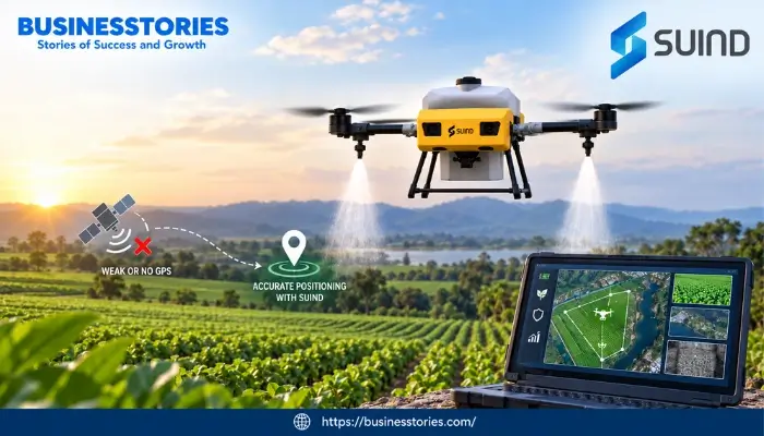
How SUIND Is Solving the GPS Problem for Agriculture and Surveillance Drones
Picture a drone flying just a few feet above a banana farm. It dips under leaves. Then, it curves around tree trunks. Meanwhile, it sprays each plant with excellent care. There is no satellite signal guiding it. Instead, cameras and onboard software read the land in real time. This is not a lab idea. It […]
Continue Reading